Wer wir sind
Gondar Simien Tours, betrieben von Simien Ethio Tours, ist ein Team mit Sitz in Gondar, das private Reisen in den Nationalpark Simien-Gebirge plant.

Simien-Ziele
Vom Tor Debark bis Imet Gogo, Chenek, Ras Dashen und dem ruhigeren östlichen Transekt. Wählen Sie einen Ort, um mehr zu lesen.
Kurz gesagt
Gondar Simien Tours, betrieben von Simien Ethio Tours, ist ein Team mit Sitz in Gondar, das private Reisen in den Nationalpark Simien-Gebirge plant.
Der Park ist ein Hochland aus Plateaus, Tälern und Steilhängen, erreichbar von Gondar über Debark. Die folgenden Seiten behandeln Zugangsstädte, Camps, Aussichtspunkte und Annäherungen an den Ras Dashen, wie in unseren Zielnotizen beschrieben.
Lesen Sie einen Ort, wählen Sie dann eine Reise oder nennen Sie uns Ihre Zeit. Wildtiersichtungen und Gipfelerfolg sind nicht garantiert.
Eine Simien-Reise planenRoutenwahl, Höhe, Wetter, Packliste, Camping, Genehmigungen, Fitness und verantwortungsvolle Wildtierbeobachtung—praktische Antworten vor der Anfrage.
Simien-Planungsleitfaden lesenSimien Mountains National Park is a highland landscape of plateaus, deep valleys and dramatic escarpments, with remote villages and living highland culture. The park is globally important for biodiversity and is known habitat for endemic Walia ibex, Gelada and Ethiopian wolf. It is the setting for day trips, multi-day treks, wildlife observation, photography, mountain camping and Ras Dashen summit expeditions.
Buyit Ras sits on the western approach into the classic Simien trekking corridor and is often used as a trailhead when conditions and the selected route favour a walk into Sankaber rather than a road drop closer to camp. The area introduces travellers to the first open highland views, escarpment edges and grassland habitat where Gelada are often observed. It is a practical start point for 3-day and 5-day programmes that begin walking soon after park entry.
Sankaber (Sankaber Camp) is a gateway to the classic Simien trekking routes and one of the most important starting points for multi-day treks. The area offers escarpment views and is known habitat for Gelada baboons. It is a common first overnight camp on 2-day introductions, 3-day adventures, 4-day classic treks and longer summit expeditions.
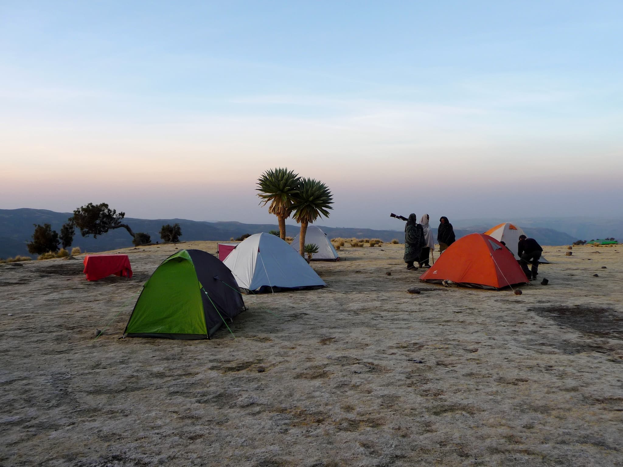
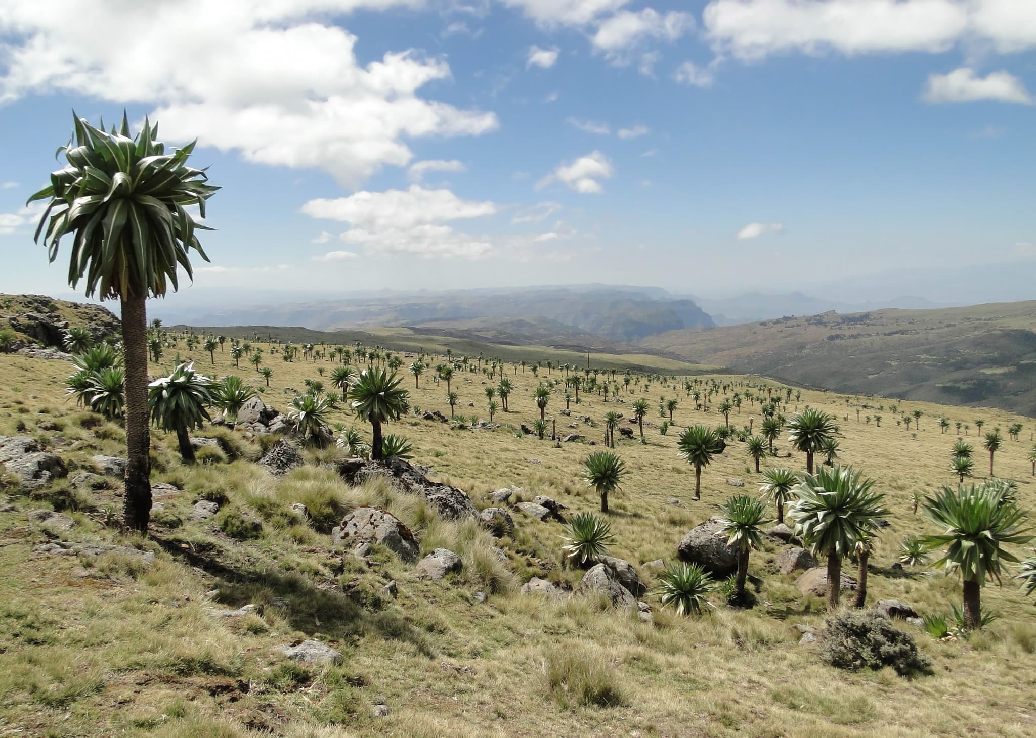
Geech (Geech Camp) is a classic overnight stop on Simien treks. Approaching camp, the landscape becomes increasingly Afro-alpine, with highland grasslands, giant lobelia and escarpment scenery. An optional nearby sunset viewpoint is often offered when time and weather allow. Geech is the usual base before the climb to Imet Gogo.
Jinbar Waterfall (also known as Jinbar River / Geech Abyss; sometimes Genbar in local usage) is where the Jinbar River disappears over the escarpment edge and plunges into the Geech Abyss. It is one of the defining scenes of the western Simien trekking route and a highlight of the Sankaber–Geech day. Water volume varies with season and recent rainfall.
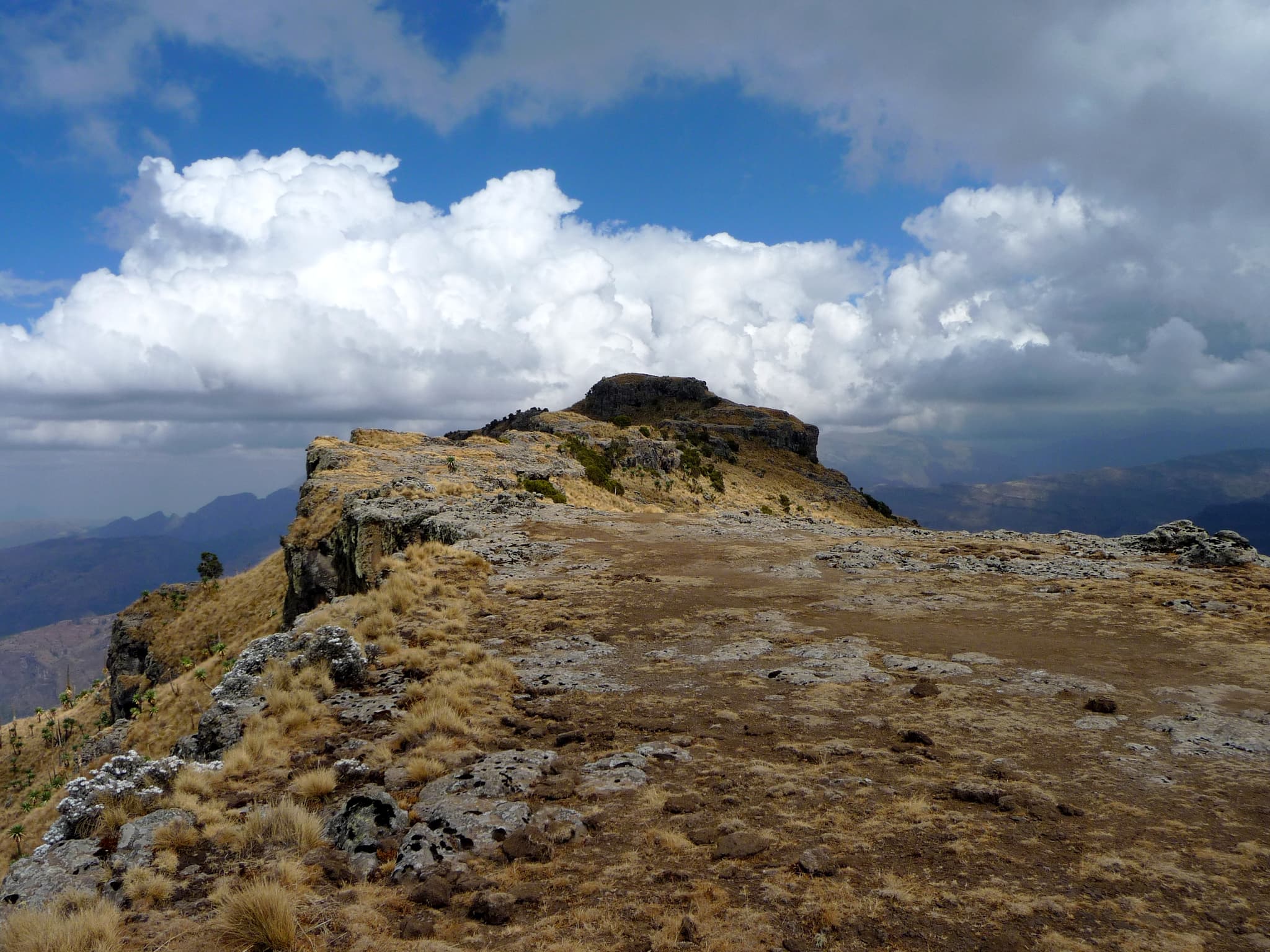
Imet Gogo is one of the signature viewpoints in the Simien Mountains. From the top, deep gorges, distant ridges and sheer cliffs form a panoramic escarpment landscape. It is the visual climax of many short and classic treks and a focus for photography programmes. Wildlife and birds of prey may be present around the cliffs (sightings not guaranteed).
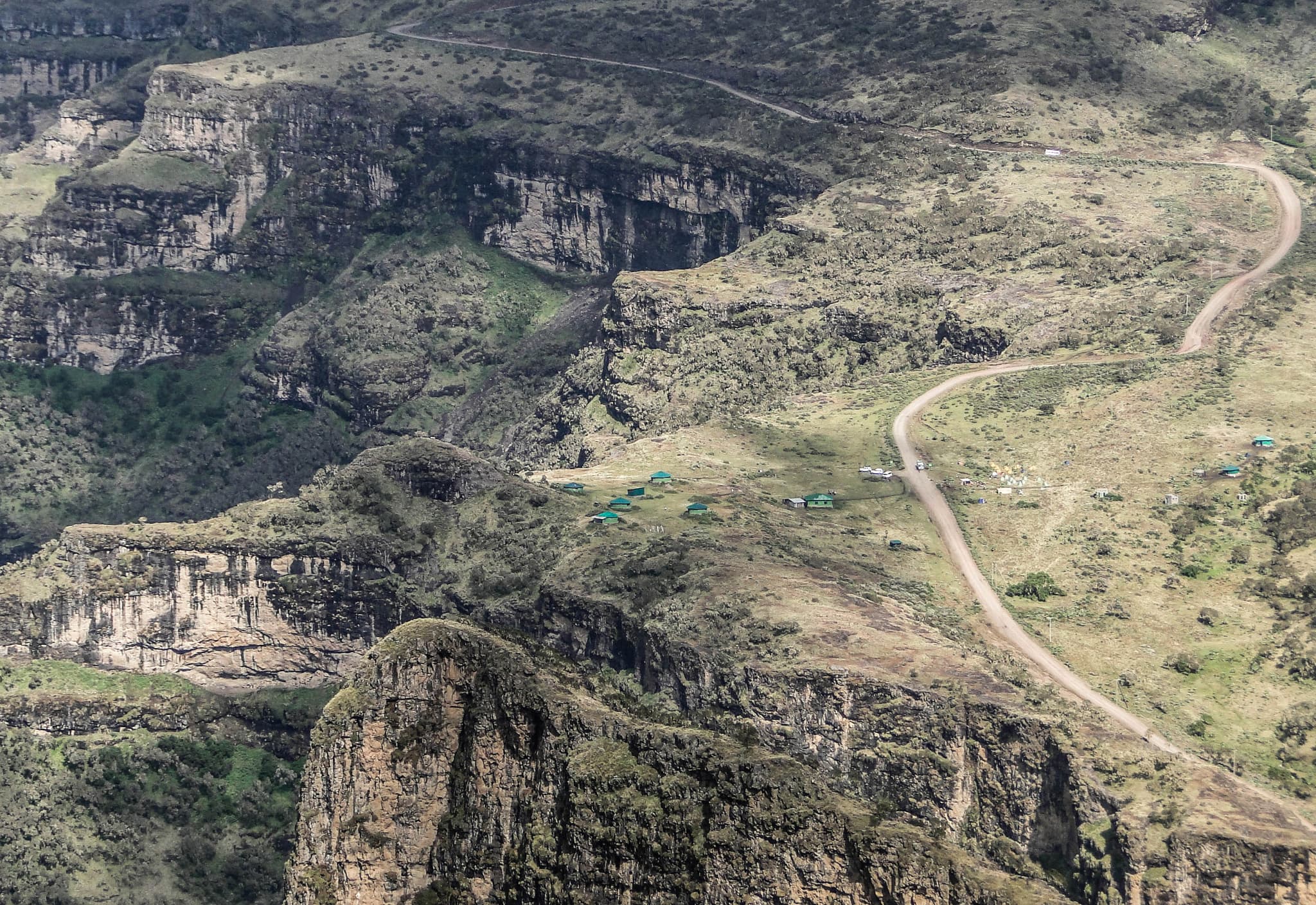
Inatye is a highland ridge and valley section passed on longer classic days continuing from Imet Gogo toward Chenek. The terrain is open and dramatic, with deep drops, distant peaks and frequent wildlife habitat along the escarpment. It forms part of the big mountain day toward Chenek rather than a standalone overnight destination, and is named on 5-day Royal City & Mountain Adventure itineraries.
Chenek (Chenek Camp) is a major destination on longer Simien trekking routes, set among dramatic mountain scenery often described as a natural amphitheatre of surrounding peaks. It is particularly known for wildlife opportunities including Gelada and Walia ibex, and is an important staging point for Bwahit and Ras Dashen routes. Optional morning hikes toward the Bwahit area are offered on some itineraries when fitness, weather and time allow.
Ambaras is a road-access area on the western Simien corridor, often used as the vehicle pickup point after Imet Gogo on the 3-day trekking adventure before the return to Gondar. The surrounding highland slopes and villages mark the transition from foot travel back to the park road network. It is a practical logistics point rather than a multi-night camp, but the approach walk offers continuing escarpment views and rural highland scenery.
Siha Gorge is a named highland gorge section on the great-views day from Geech via Imet Gogo toward Chenek. The route continues through deep cuts in the escarpment, with steep walls, distant ridges and open Afro-alpine terrain. It is highlighted on the 10-Day Simien Mountains & Ras Dashen Expedition as part of one of the most scenic walking days of the full crossing.
Bwahit (Bwahit Pass / Bwahit massif) is a major high point of the Simien range. The climb demands good fitness and careful pacing. It is used as a high-altitude finale on some classic routes or on the Chenek–Ambiko approach via Bwahit Pass before descending toward Meseha Valley en route to Ambiko and Ras Dashen. Optional morning hikes from Chenek toward the Bwahit area are available when used as a finale rather than a summit approach.
Ambiko (Ambiko Camp) is the traditional base for the Ras Dashen (Ras Dejen) summit attempt. It is reached after crossing the Bwahit area, descending toward Meseha Valley, then climbing again to camp. Summit briefings and preparation take place here before the long summit day. On full expeditions, Ambiko is also the overnight after the summit before the eastern transect toward Sona.
Ras Dashen (also Ras Dejen) is Ethiopia’s highest mountain and the high point of the Simien massif. Reaching the summit is a serious mountain experience rather than sightseeing: a demanding long day from Ambiko, typically with a pre-sunrise start. Detailed itineraries estimate roughly 14–16 km round trip and 8–10+ hours. Summit success cannot be guaranteed; safety conditions determine the final decision.
Meseha Valley (Meseha River) is the valley and river landscape on the Ras Dashen approach and on the post-summit descent toward lower Simien. Crossing from Bwahit Pass into the valley marks a clear elevation change from the high plateaus. On full transect itineraries, the descent continues past the river corridor toward Sona, with remote scenery and a shift in vegetation.
Sona (Sona Camp) sits on the quieter, more remote side of the Simien landscape reached after descending from Ambiko toward the Meseha River area. It forms part of the full transect toward Adi Arkay, beyond the classic escarpment circuit. Continuing from Sona toward Mulit, the corridor passes Mekarebya Camp in the lower valleys: river landscape, remote countryside, a shift from cooler highland environment to warmer valleys with different vegetation and birdlife, and — depending on local conditions — possible swimming at suitable natural pools.
Mulit (Mulit Camp) is a quieter section of the lower Simien landscape following the Incya River area on the approach to Adi Arkay. The camp offers opportunities to observe birdlife and experience rural village life after the high camps of the western escarpment and summit corridor. On the Sona–Mulit corridor, Mekarebya Camp precedes Mulit: further into lower valleys along river landscape, with possible natural pools depending on conditions.
Adi Arkay is where the final walk of the Grand / Full Simien expedition meets the vehicle before the drive back toward Gondar. After days on the eastern transect through Sona, Mekarebya and Mulit, the trail meets the road network here. It is the practical completion point of the long Simien crossing rather than a sightseeing town in its own right.
From the Gondar side, Debark is the principal gateway town on the road north toward Simien Mountains National Park. Park arrangements and formalities are completed here before continuing into the mountains. It is the operational hinge between royal-city stays and highland trekking.
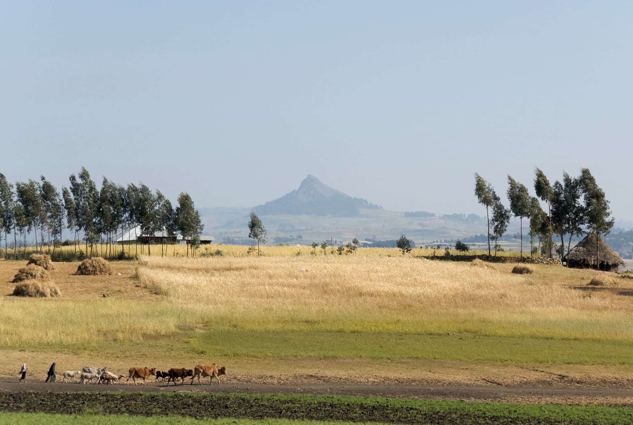
On the road north from Gondar toward Debark and the park, highland farmland and villages form the living landscape between the royal city and the escarpment. Day-trip and approach programmes use this drive for geography and local-life commentary — farming, settlement patterns and the rise toward park altitudes. This is not a separate ticketed attraction; it is the community corridor travellers pass through when leaving Gondar for Simien. Related near-Gondar rural walking is also available on Kosoye programmes.